South Downs Way Map Sea and Beach Yew Tree Forest The Devil’s Humps
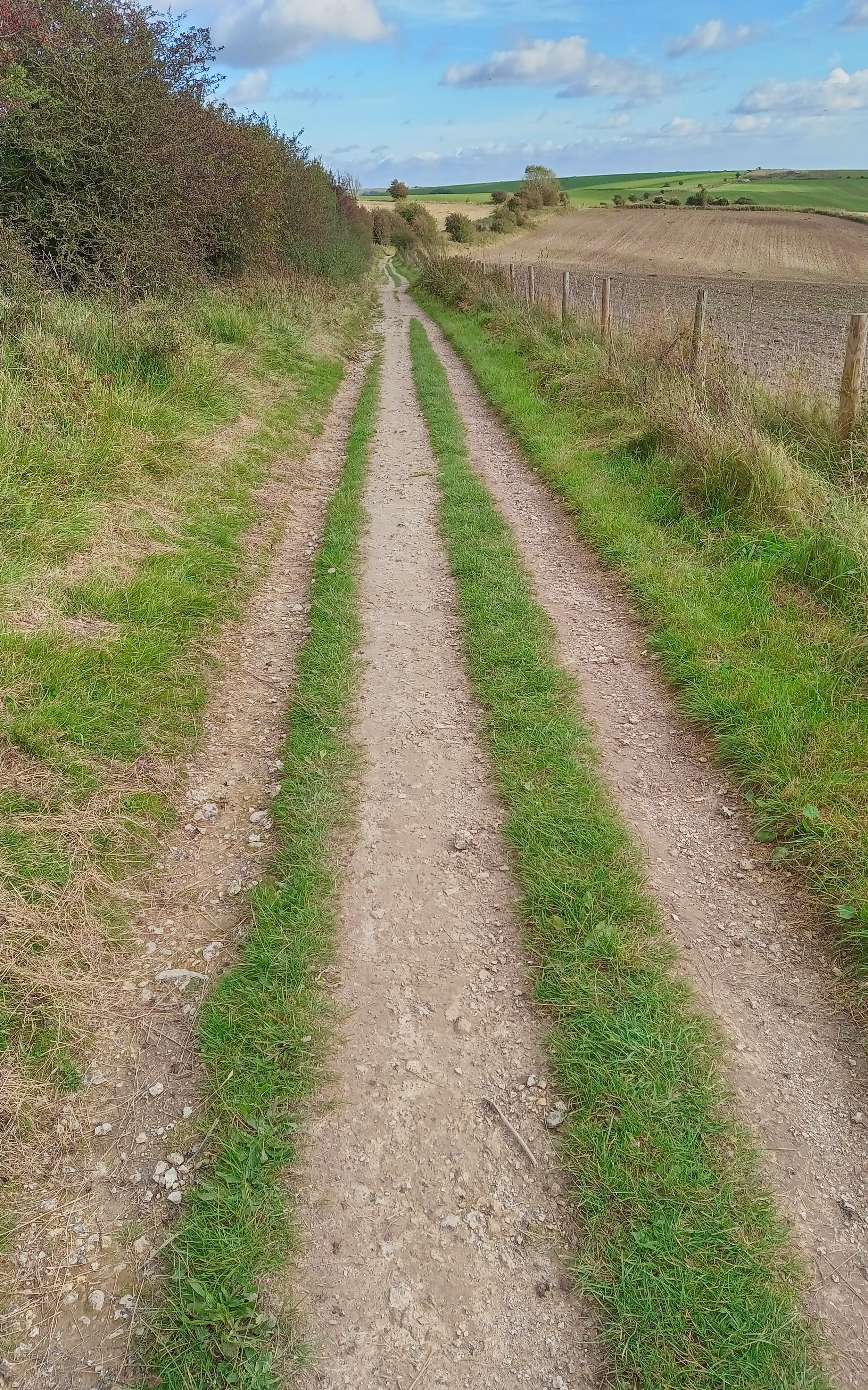
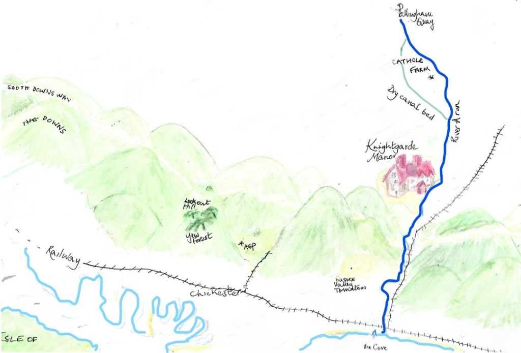
The South Downs are rounded hills, not pointed mountains. They are in a National Park – here is the website. If you compare an actual map with the picture you’ll see that some of the geography of Knightgarde Manor’s world is slightly different.
Sea and beach
West Wittering 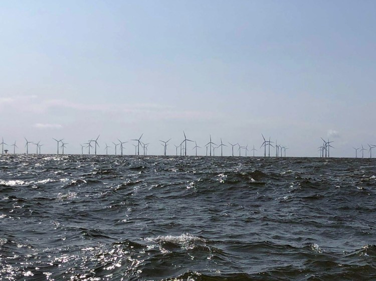
Wind Farm
Yew Tree Forest
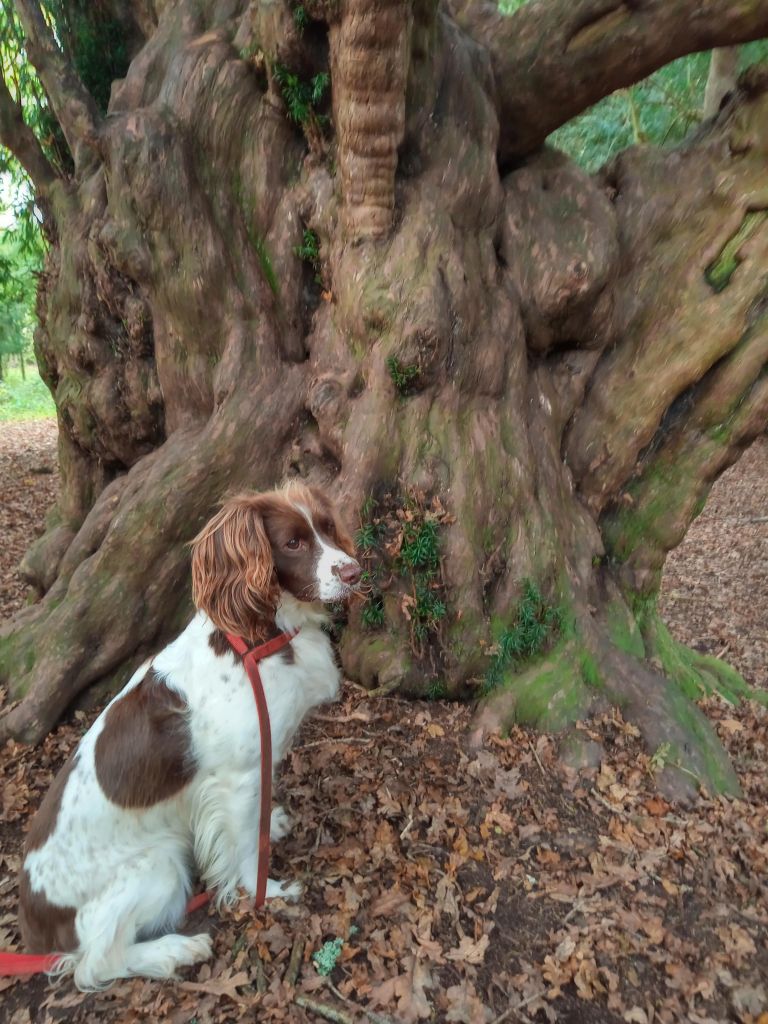
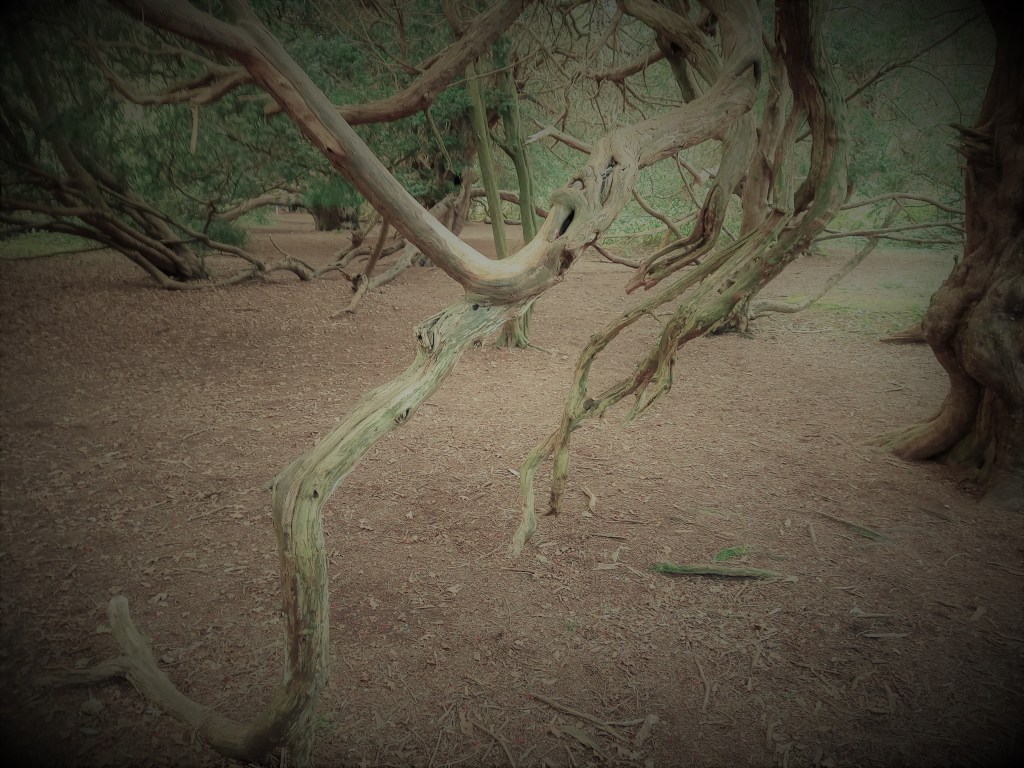
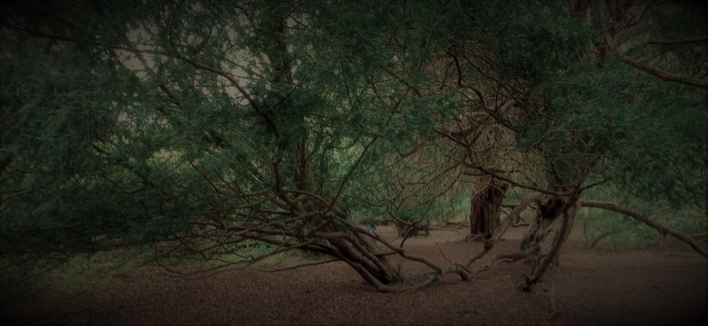
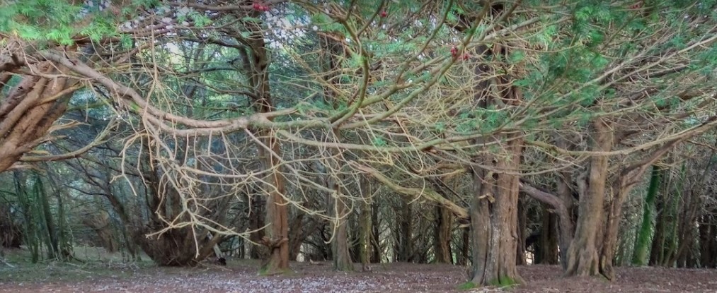
The yew trees in the top pictures are very old – maybe 1000 years old, so they might have been there in Nan and William’s time. They have grown into weird shapes. One day I walked through them when it was gloomy and misty – and definitely spooky.
The trees are in Kingley Vale Nature Reserve, the first National Nature Reserve in this country . They are some of the oldest living things in the country. More information here.
The Devil’s Humps
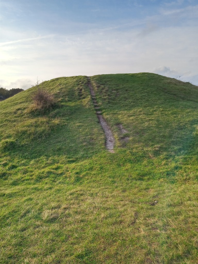
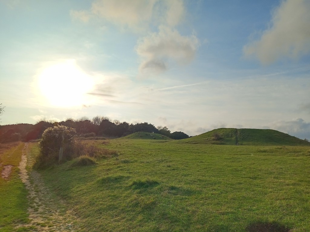
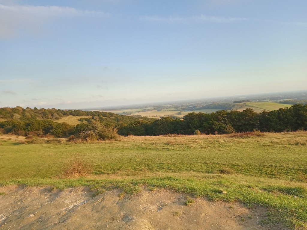
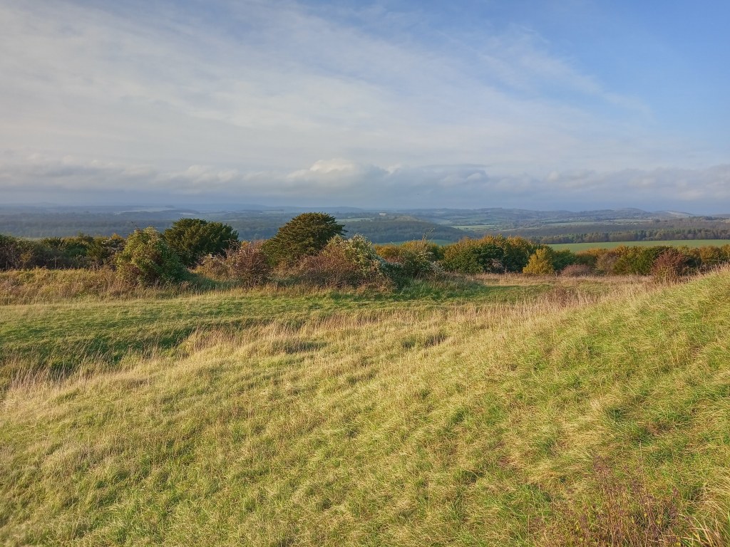
If you climb up from the Yew Forest you reach some Bronze Age burial sites. The most direct way takes you up more than a hundred steps – but when you get there you can see to the coast, and almost to London.
